To celebrate this year’s International GIS Day, we are proud to highlight the achievements of our GIS team, which continues to set the standard in mapping fibre optic networks across multiple countries worldwide.
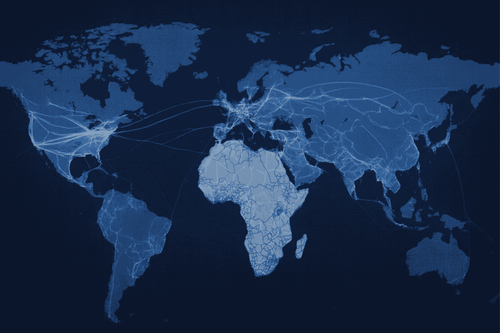
Building upon one of our previous milestones, the successful mapping of the entire fibre optic backbone across Africa, including existing, planned, and missing networks, we are now expanding our GIS efforts to new frontiers, including more granular middle-mile and last-mile network segments.
This accomplishment represents not only a significant technical achievement but also a vital contribution to accelerating digital infrastructure development and promoting connectivity. By providing an extensive view of telecom networks, we empower stakeholders such as governments, regulators, and private investors, with the insights necessary for informed decision-making, optimized network planning, and strategic investments.
Our latest milestone highlights our growing expertise in designing and mapping middle-mile networks and, increasingly, to some extent, last-mile connections. This enables us to deliver highly detailed spatial analyses that reveal network gaps, optimize routing, and support effective infrastructure deployment. Through advanced mapping, route modelling, and gap analysis, our team utilises GIS not just as a visualization tool but as a practical engine for smarter, data-driven, and inclusive telecom infrastructure development.
As we celebrate International GIS Day, we reaffirm our commitment to utilizing the power of spatial data and analysis to improve network planning and connectivity. From the backbone to the last mile, our GIS team continues to apply precise, data-driven methods that drive the development of modern, resilient, and future-ready telecom networks across the globe.